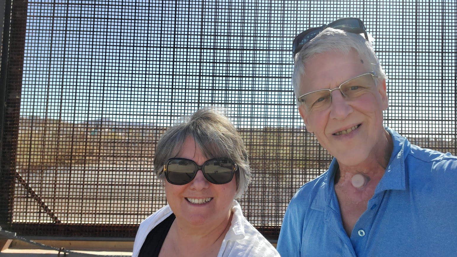
Our first stop today was a waypoint right next to the USA-Mexico border wall (railroad tracks – road – border wall – Rio Grande river – City of Juarez, MX). We actually got to touch the border wall (and no, there wasn’t anyone crossing illegally where we were, unlike the images we see on TV). What we could see however is the densely populated (and from the looks of it much poorer) city of Juarez, Mexico.
We did not dwell there however, we had two main activities planned: 1) visit the El Paso Museum of Archeology 2) Visit the El Paso Museum of Art (EPMA). Both were free to visit!
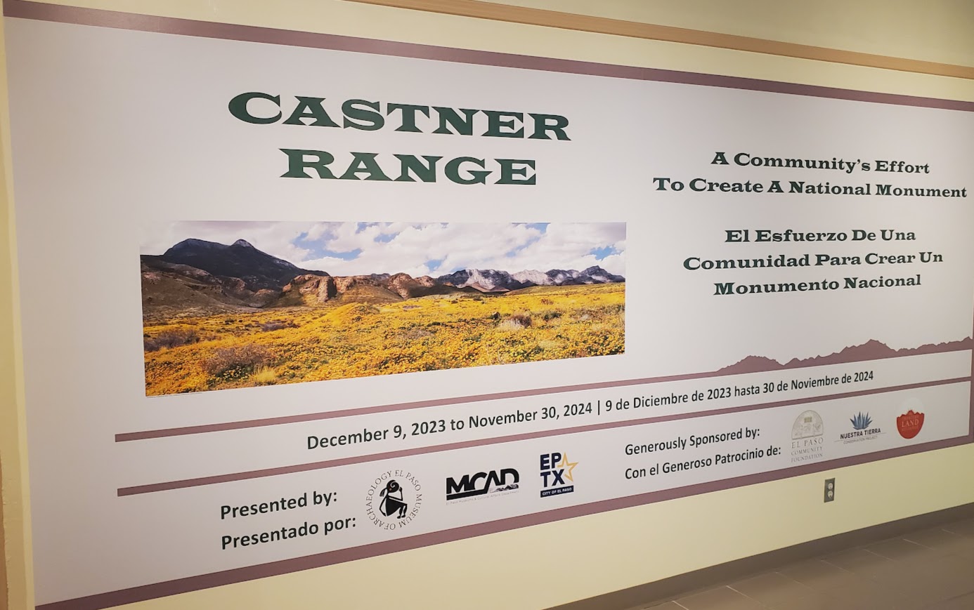
By far, the better one of the two museums was the one on archeology, which describes at length the history of the region’s earlier inhabitants. There was even a section on basket weaving that was just amazing (really!). The painful part of all this is that the people who lived here before had far richer traditions than we are told. As a bonus, we discovered while in the museum, that its location, the Castner mountain range, was officially promoted to National Monument status in March 2023.
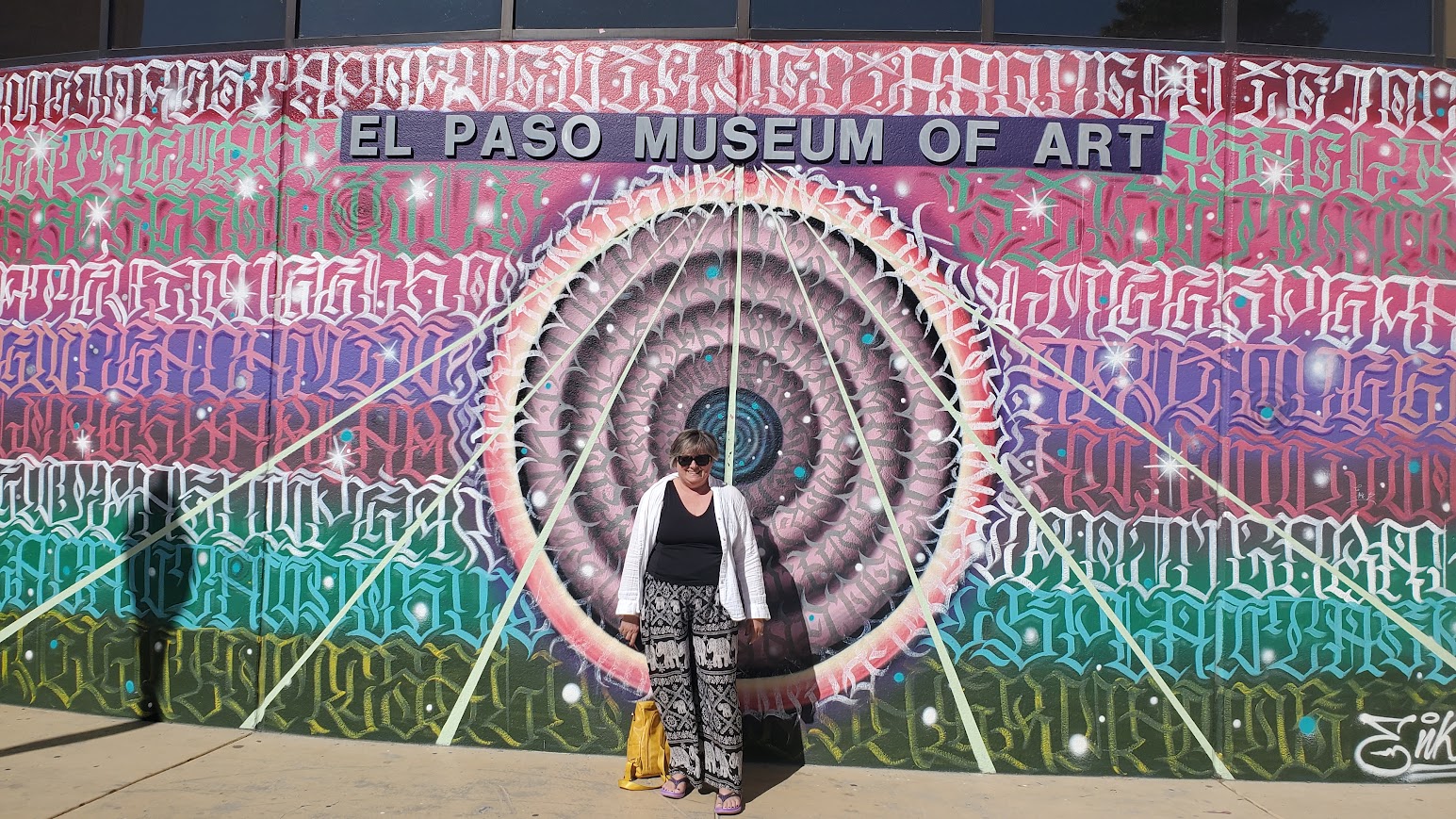
We then drove back to downtown El Paso for lunch, and then the EPMA. It’s a beautiful building, but with a limited amount of exhibit space. The most moving was the biennal exhibit, which is a collaboration between the EPMA and the Museo de Arte de Ciudad Juarez (MACJ), the town in Mexico just across the Rio Grande river from El Paso. It included some really poignant art pieces relating to regional issues, one of course being migration, and the other being violence.
Tomorrow we leave for Alamogordo NM. Fun fact, I read that at times, US70 can be temporarily closed dues to missile test being made in the White Sands area.
Claudette’s Two Cents.
Listen, from what we saw of El Paso, there’s issues here along the border. It’s looks sad and discouraging. There are definitely beautiful sections but we didn’t spend a lot of time here.
Here are some images of The Wall.


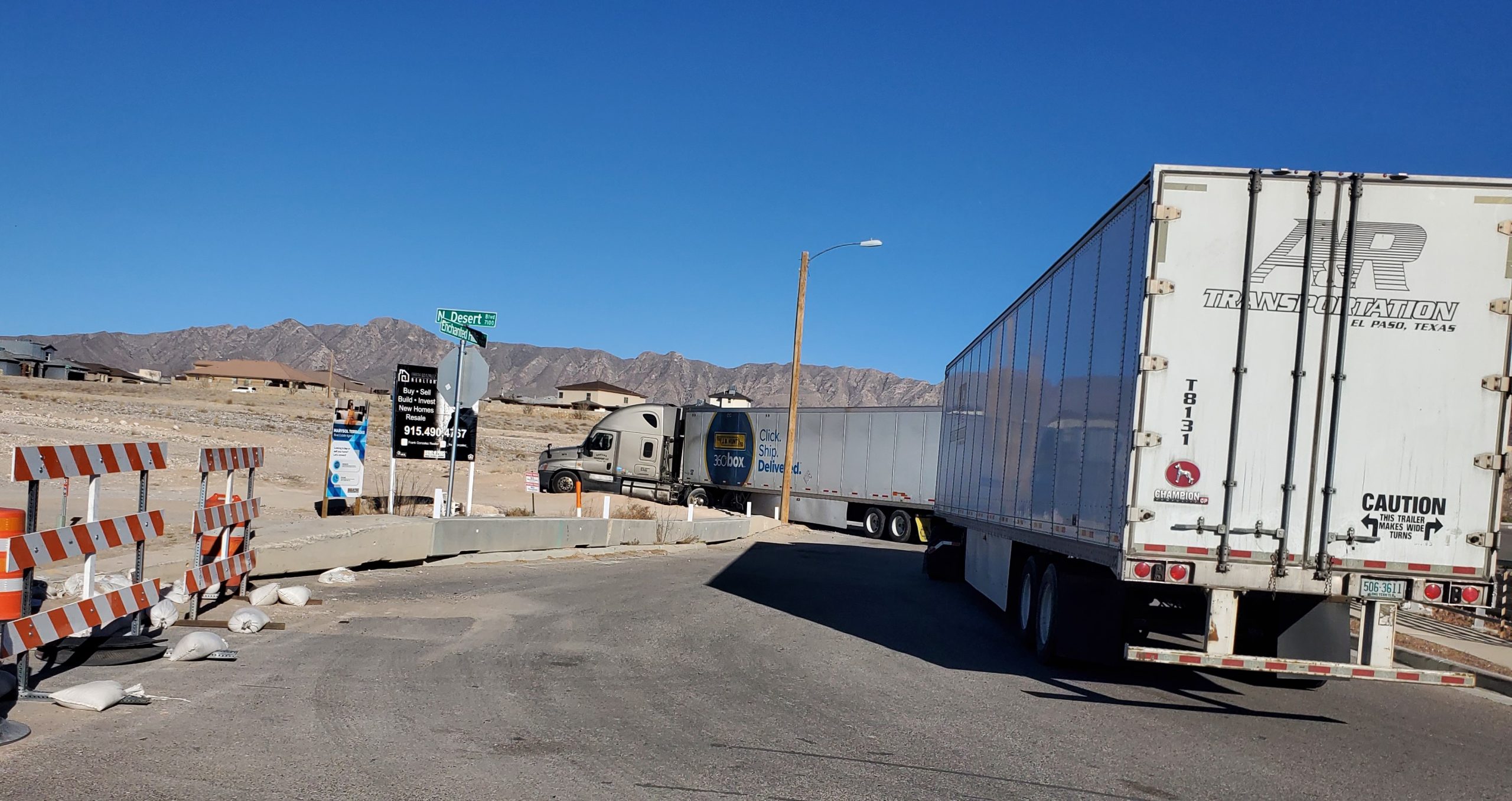
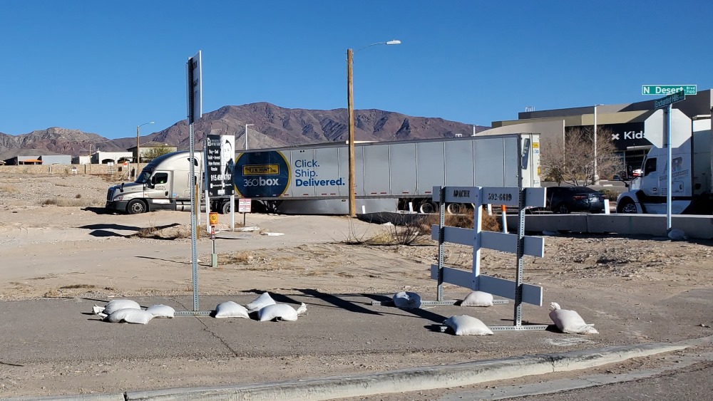
On our way back to our campsite, there was a lot of traffic. Bernard thought he’d try to divert it by taking some side roads. What we didn’t know was that the road to get back on the highway was closed. Thanks GPS! For not staying current. We were able to backtrack and get back on the road and inch our way toward the campground.
Now, it seems we weren’t the only one with this idea of skirting traffic. Unfortunately, some weren’t as lucky to get back on the road. Some may be stuck for a VERY long time.